Drones, or Unmanned Aircraft Systems, continue to shine as unique and cost effective tools in natural resource management. These precise flyers can carry a wide variety of payloads to support both research and prescribed fire operations.

Within the next year, Tall Timbers hopes to have the capacity to further support its staff with high-resolution aerial LiDAR vegetation and terrain mapping, a cutting-edge development in drone technology.
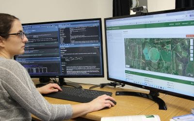
Over the summer, the Tall Timbers Geospatial Center received several drones from various projects that no longer needed them. The acquisition of these out-of-use aircraft allows the Center an additional cost-effective method to expand its research, outreach, and land monitoring capabilities, forming a newly reorganized drone program.
This program looks to overhaul these drones and combine them with new products to better implement projects from a bird’s eye view.
So far, the drone program has made over $40,000 of drone equipment airworthy again. With every successful drone refurbish, the Tall Timbers Geospatial Center gains the capacity to provide services to our staff and partners. These services include capturing DSLR quality pictures from the air, supporting fire staff with aerial thermal video, and assisting research with infrared and multispectral imagery—often used to identify differences in plant species, type, and stress.

Comparison of a true color (left) and thermal photograph (right) captured by a Zenmuse XT2 thermal camera
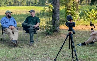
While the program is just getting off the ground, these upcycled drones have already been used on various Tall Timbers projects, including extension forestry events and prescribed fire. We look forward to seeing how this new program takes flight.