
eNews
Spring 2021 | Vol 14 | No 1
Tall Timbers Forest Community Map
The effort of several Fire Ecology interns over two years is coming to fruition in a new map of forest community types on Tall Timbers Research Station. Until now, our maps were not much more specific than identifying upland pine forests, hardwood forests associated with low areas, and and open wetlands. Building on data provided by a timber cruise made in the upland pine areas a few years ago, the Fire Ecology Lab extended the area covered by the 1-acre survey points to extend throughout the rest of the property. At each point, all trees greater than 10 cm diameter, within a 15 m radius, were recorded, identified to species, and put into a size category. We combined the timber cruise data and new data and ran a cluster analysis to classify each point according to its tree species composition.
The analysis ended up producing 12 forest community types: upland loblolly-shortleaf pine, upland shortleaf pine, shortleaf pine-oak-hickory, longleaf pine, hardwood slope forests (mostly hickory), ravine forests (with tulip poplar, sweetbay, and gums), upland fire-excluded pine-hardwoods, wetland early successional hardwoods, beech-magnolia forest, live oak-loblolly pine bottomlands, gum swamp, and cypress swamp. Other categories mapped are open wetlands, fields, and developed areas.
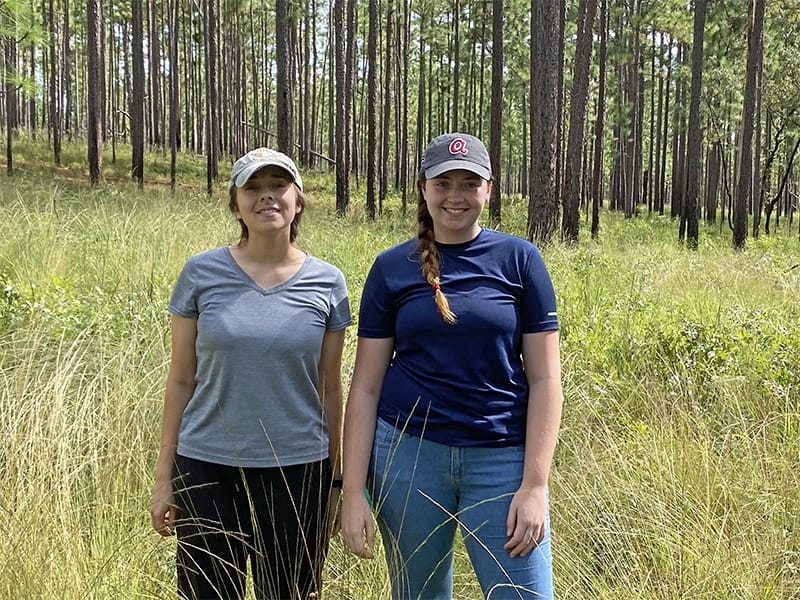
Interns Emma Zeitler (left) and Madeline Lyons (right)
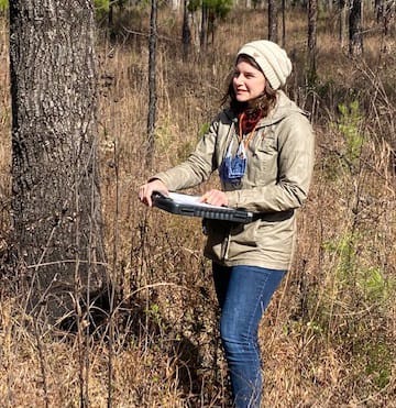
Intern Courtney Gunville
The field effort was led by interns Louie Sandstrum, Porter Taylor, Madeline Lyons, and Emma Zeitler, with Emma completing most of the work this past fall. Courtney Gunville, who recently graduated from the University of Wisconsin in GIS, is currently working on interpreting the points to draw polygons covering the map with forest community types and other land categories.
The map will be useful for both Tall Timbers researchers and visiting scientists interested in the various natural resources the property has to offer. It speaks to the considerable ecological diversity at relatively small scales on Tall Timbers and similar properties throughout the Red Hills Region.
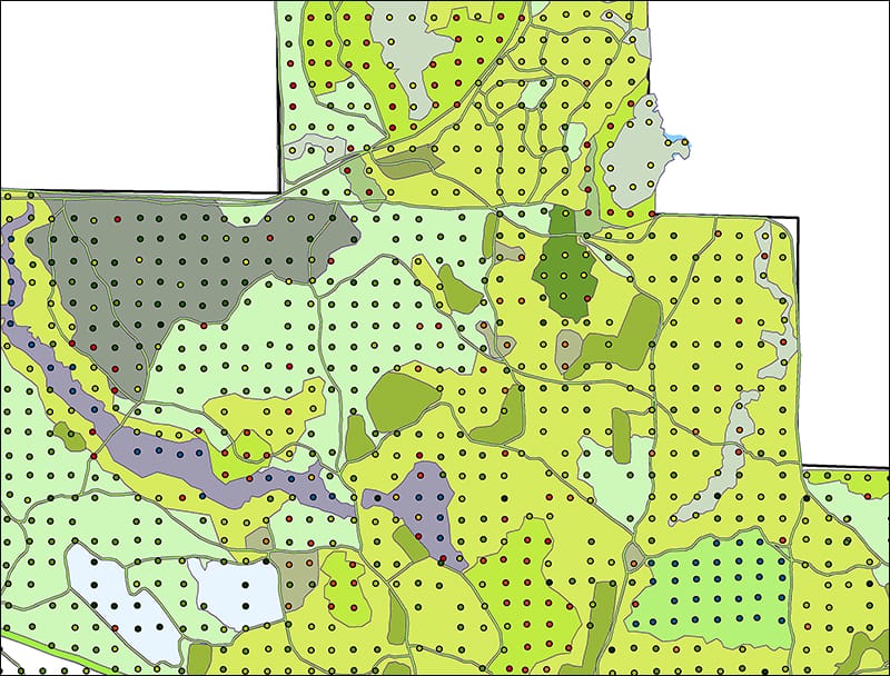
Map of Tall Timbers Forest Communities in progress


