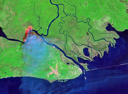
Lead photo from the National Weather Service
A cornerstone of our land management strategy, prescribed fire, is once again in the spotlight following the findings from a recent study led by Tall Timbers.
The findings from this study demonstrate that prescribed fire is not just a tool for conservation and restoration efforts; it’s a game-changer in reducing wildfire damages and losses to valued resources, which included areas immediately surrounding Red-Cockaded Woodpecker clusters, longleaf pine ecosystems, and timber plantations.
The research team used the 2017 West Mims wildfire as an opportunity to evaluate the effectiveness of prescribed fire treatments. The study also examined how post-treatment duration affected wildfire severity across biologically diverse ecosystems within and around the wildlife refuge.
A comparative analysis of wildfire severity between treated and untreated areas was made possible by utilizing the LANDSAT satellite to calculate the differenced Normalized Burn Ratio (NBR), a widely used remote sensing index that uses spectral reflectance to discriminate between healthy vegetation and areas affected by fire.
Healthy, unburned vegetation typically reflects more near-infrared light, thus appearing brighter in satellite imagery. Conversely, charred vegetation and burned areas reflect more shortwave-infrared light, appearing much brighter in the resulting image.
By contrasting NBR values before and after a fire, the amount of vegetation charred or consumed by the fire can be estimated.
This technique is valuable because it allows for the classification of burn severity into various categories such as low, moderate, or high.
These categories can help land managers understand the extent and impact of fires on landscapes, aiding in post-fire management decisions, policy development, and monitoring the recovery and health of various ecosystems.
Our study’s findings are strikingly clear: areas actively managed with prescribed fire experienced, on average, an 11% reduction in burn severity when contrasted with unmanaged areas.
Post-treatment duration—essentially the duration of time between the last prescribed burn and the West Mims event—significantly influenced wildfire severity.

The West Mims wildfire perimeter (gray). The map also depicts the prescribed fire burn units (green) and red-cockaded woodpecker clusters (black dots).
For instance, areas that underwent prescribed burning just one month prior to the West Mims wildfire showed a remarkable 88% reduction in average burn severity compared to their untreated counterparts.
As post-treatment duration increased, the benefits of prescribed fire waned, yet even after 38 months (the longest duration in the treatment records), wildfire severity remained 17% lower than untreated areas left to the whims of nature.
Echoing this pattern of resilience, valued ecological and commercial resources such as habitats of the endangered red-cockaded woodpecker, longleaf pine ecosystems, and timber plantations also exhibited similar trends in wildfire severity.
Specifically, 28 active clusters inhabited by red-cockaded woodpeckers—a species of significant ecological concern—emphasizes the critical role of treatment with prescribed fire.
In these regions, deliberate burning not only curtails the damage from wildfires, but also contributes to the preservation of habitats that are vital for the survival of species and, for the forestry sector, underscoring the importance of incorporating prescribed fire into long-term resource management strategies.
While this study underscores both the spatial and temporal efficacy of prescribed fire for mitigating wildfire severity to valued resources, especially when this ancient practice is conducted on one- to three-year rotations, increasing the scale and pace of prescribed fire is necessary to realize broader, regional benefits.
Ultimately, advancing research in the realm of wildland fire sciences holds immense potential for mitigating the impacts of wildfires while ensuring the long-term sustainability of our natural resources for the benefit of society and future generations.